

The U.S. National Weather Service’s Flood Inundation Mapping (FIM) tool, which shows forecasters and residents exactly where river flooding will spread street by street, now covers nearly 100% of the U.S. population, NOAA announced this week. The tool covered 60% of the country as recently as its last expansion.
The newly added coverage brings in the southeastern coast and Florida, the Great Lakes region, New England, the Rocky Mountains, the Dakotas and western Nebraska. Large parts of northern and western Alaska, along with Guam, the Northern Mariana Islands and American Samoa, are not yet covered.
What the tool actually shows
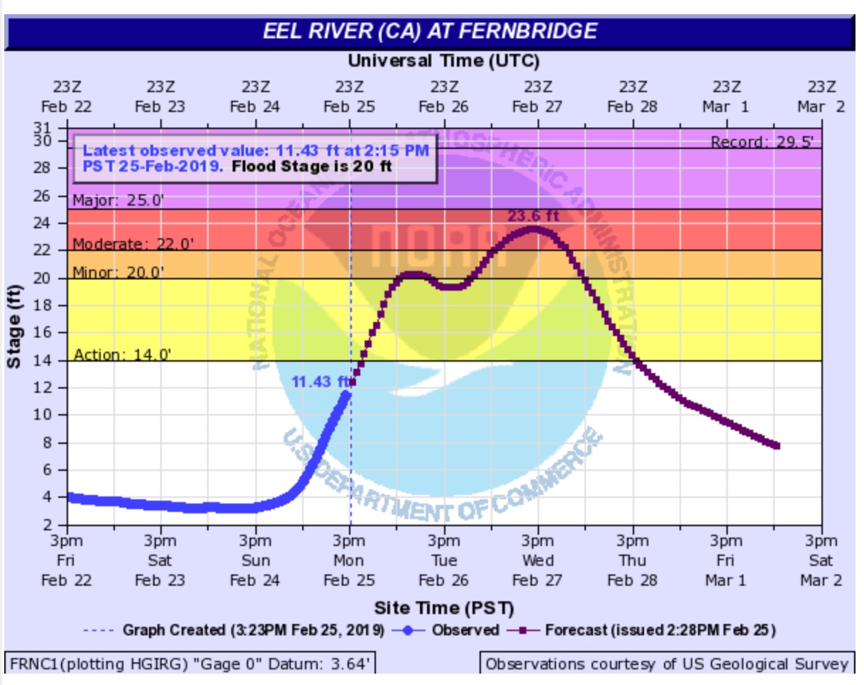
FIM turns a river flood forecast into a near-real-time, high-resolution picture of which streets, buildings and land will actually be underwater, across more than 3.3 million miles of rivers and streams in the United States and its territories. Instead of a single water-level number at a gauge, emergency managers and residents can see the specific area a coming flood is expected to reach.
Already credited with saving lives
NOAA points to a real-world case from April 2025, when the National Weather Service office in Little Rock, Arkansas, used FIM to show the city of Hardy exactly which streets would flood. Local officials went door to door with that information, and the city reported a nearly 100% evacuation success rate before the water arrived.
Why it matters
Flooding is one of the most common and costly natural hazards in the United States, and warnings are only as useful as people’s ability to picture what they mean for their own street. By closing the coverage gap for most of the population, NOAA is aiming to give many more communities the same street-level warning that helped Hardy, Arkansas, evacuate ahead of time.
This report is based on NOAA’s own announcement. Coverage areas and the tool’s experimental status may be updated by NOAA over time.



Leave a Reply